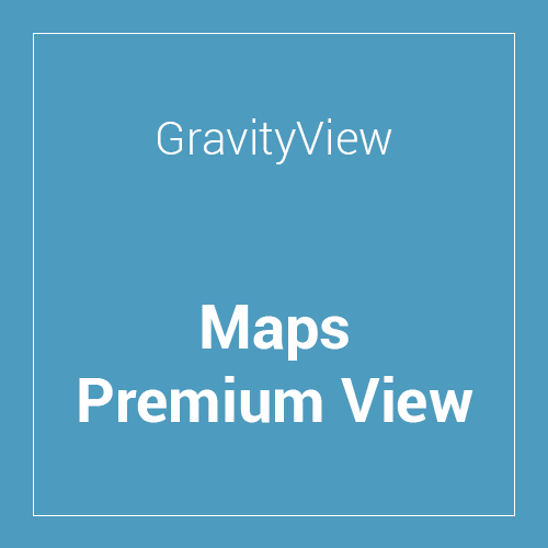
The GravityView Maps Premium View extension displays entries in a Map View, where entries are displayed as pins on a map. Also, add map widgets and fields to all GravityView layouts.
This is EXACTLY the same product as distributed by the developer. Sales Page
Key Features
The extension turns your form data into a dynamic geographic interface.
-
Interactive Mapping: Supports both Google Maps and OpenStreetMap (as of 2026).
-
Geolocation & Geocoding: Automatically converts addresses from Gravity Forms fields into latitude/longitude coordinates to place markers.
-
Radius Search: Users can search for entries within a specific distance (e.g., “within 25 miles of my zip code”).
-
Smart Marker Clustering: To keep the map clean, markers that are close together cluster into a single icon until the user zooms in.
-
Custom Marker Icons: You can change map pins based on form data—for example, using a different icon for “Premium Listings” vs. “Standard Listings.“
-
Map Widgets: You can add a map to any layout (Table, List, or DataTables) by simply dropping in the “Multiple Entries Map” widget.
How it Works
-
Form Setup: Create a Gravity Form with an Address field.
-
Create a View: Go to “New View” and select the Maps layout (or add the Map widget to an existing Table/List view).
-
Geocoding: GravityView automatically geocodes existing and new entries.
-
Customization: Use the “Maps” tab in the View Settings to adjust zoom levels, map styles, and search parameters.
- Categories: WordPress Plugins
- Tags: GravityView
